
Page 244 - Special Topic Session (STS) - Volume 4
P. 244
STS583 Daniel C.
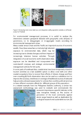
Figure 5: Analysing land cover, land use, and integration with population statistics at different
scales for Thailand
For environmental management purposes, it is useful to analyse the
interactions between geospatial datasets with geographic units (shapes) of
governance, i.e. to disaggregate or re-aggregate results according to
environmental management zones.
Many coastal areas in Asia and the Pacific are important sources of economic
wealth. Thus, these areas face a relatively high inherent
exposure to environmental risks, which may be
increasing due to climate changes and from impacts of
increasingly intensive human activities. Through
integration of social-economic earth observation data,
exposure can be identified and incorporated into
costs-benefit analyses and strategic environmental
management policies for hot spots.
In some parts of southeast Asia, coastal areas have been temporarily closed to
tourism activities as a last available option to allow coral reefs and other
coastal ecosystems time to recover from effects of climate change and from
over-crowding.[8] Earth observation data can be used as a validation tool to
improve the accuracy, timeliness or coverage of traditional sources of data and
help provide unbiased assessments for policies that could be political sensitive
or have different economic effects for different groups of the population.
In a related example from the Philippines Statistics authority, a similar risk
assessment methodology was used to evaluate and communicate the
economic importance a specific habitats, in this
case mangrove forests, as the source of
protection of the local community against
storm surge hazard as well as destination for
ecological research and sustainable tourism. [9]
233 | I S I W S C 2 0 1 9